What Should We Learn from IARPA’s Deep-Learning Challenge Seeks AI to Analyze Satellite Images

Spy satellites and their commercial cousins orbit Earth like a swarm of space paparazzi, capturing tens of terabytes of images every day. The deluge of satellite imagery leaves U.S. intelligence agencies with the world’s biggest case of FOMO—“fear of missing out”—because human analysts can sift through only so many images to spot a new nuclear enrichment facility or missiles being trucked to different locations. That’s why U.S. intelligence officials have sponsored an artificial-intelligence challenge to automatically identify objects of interest in satellite images.
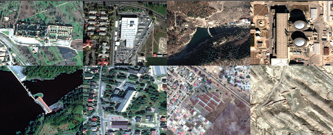
Since July, competitors have trained machinelearning algorithms on one of the world’s largest publicly available data sets of satellite imagery—containing 1 million labeled objects, such as buildings and facilities. The data is provided by the U.S. Intelligence Advanced Research Projects Activity (IARPA). The 10 finalists will see their AI algorithms scored against a hidden data set of satellite imagery when the challenge closes at the end of December.
The agency’s goal in sponsoring the Functional Map of the World Challenge aligns with statements made by Robert Cardillo, director of the U.S. National Geospatial-Intelligence Agency, who has pushed for AI solutions that can automate 75 percent of the workload currently performed by humans analyzing satellite images.
Their best algorithm produced results that were verified by humans as 98 percent accurate. The algorithm took just 42 minutes to deliver readings that matched the accuracy of human analysts, whereas a traditional visual search by humans required an average of 60 hours.
Such results bode well for the IARPA challenge goal and could help establish deep learning as a necessary tool. Both governments and companies continue to launch swarms of imaging satellites to join the existing constellations peering down at Earth. The U.S. commercial satellite operator DigitalGlobe—which provided the imagery for the IARPA challenge—already captures more than 70 terabytes of raw imagery each day. Sooner, rather than later, human analysts will need all the AI help they can get.
Reference
Jeremy Hsu. WANTED: AI THAT CAN SPY. IEEE Spectrum. December, 2017, pp.12-13

